VMF
" VERTICAL MULTISPECTRAL FORECAST "
NEW ERA OF EXPLORATION VIA SATELLITES.
ADVANCED SCIENTIFIC EXPLORATION SERVICE.
WE CAN SEARCH FOR ANY COMMODITY.
ONSHORE & OFFSHORE.
" Unveiling the Future: VMF Technology Explained "
Petroleum Exploration |
Mineral Exploration |
Groundwater Exploration |
Archaeological Investigation |
ABOUT US
Sole Proprietary Owner of VMF Exploration Technology,
and Special Scientific Mathematical Algorithms
(VMF is a registered trademark of exploration technology).
We have a team of Engineers and Programmers.
We developed our own unique patented software.
We have our own data center platform.
and Special Scientific Mathematical Algorithms
(VMF is a registered trademark of exploration technology).
We have a team of Engineers and Programmers.
We developed our own unique patented software.
We have our own data center platform.
THE VMF BASICS
The basic nature of VMF rests on the premise that all physical objects have unique properties of energy. All elements in the Earth's crust exist in an excited state and are constantly emitting intrinsic electromagnetic radiation with its unique amplitude and frequency.
Since different lithologic units in the Earth's crust have different atomic structure, the electromagnetic field generated by each unit has distinct properties.
That electromagnetic radiation can be captured above the surface by our remote sensing system. The captured electromagnetic information can be analyzed to filter out the electromagnetic field, generated by the substance of interest.
EXPRESS EXPLORATION
OF NATURAL RESOURCES
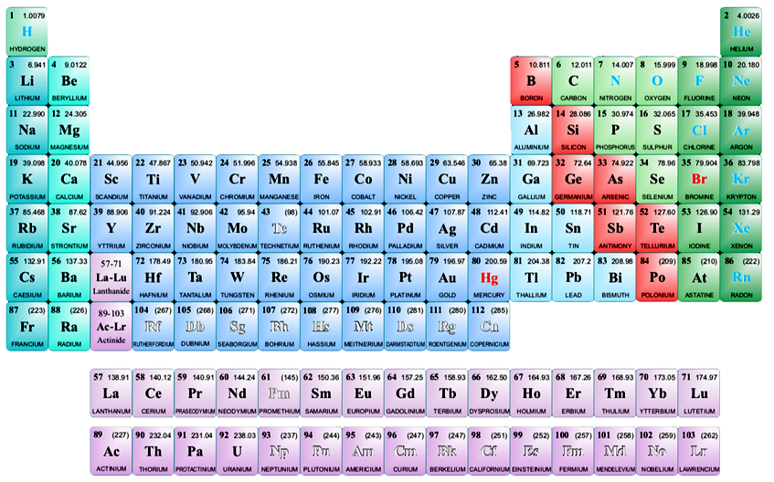
OUR REPORTS ARE BASED ON DIRECT IDENTIFICATION OF ANY ELEMENT'S SPECTRAL SIGNATURE.
SURVEY AREA
Any size, Anywhere, Onshore or Offshore.
Any size, Anywhere, Onshore or Offshore.
SENSING DEPTHS
From a few meters up to 8 kilometers.
From a few meters up to 8 kilometers.
CHEMICAL ELEMENT POSITIONING
With an accuracy of up to 3 meters.
With an accuracy of up to 3 meters.
ESTIMATION OF RESERVES
With 98% accuracy.
With 98% accuracy.
TIME EFFICIENCY
100 km2 in average 2 months.
100 km2 in average 2 months.
THE REPORTED RESULT
Presented by a 3D Model Report.
Presented by a 3D Model Report.
What is VMF up to...


